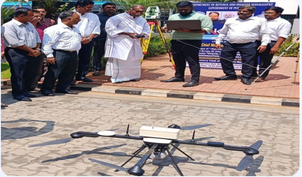
Under the National Geospatial Knowledge-based Land Survey of Urban Habitations (NAKSHA) project, modern land surveying using unmanned aerial vehicles (drones) was launched in Puducherry. The pilot project was inaugurated by Chief Minister N. Rangasamy at Murungapakkam Revenue Village.
Once the procedures are finalized, land documents integrated with geospatial data and property tax information will be provided to landowners.
The project aims to modernize land records by utilizing drones for land surveys and creating maps with geospatial coordinates. These maps will be integrated with property tax data maintained by local authorities.
The initiative also ensures that landowners of private properties will receive updated land titles in the name of the current eligible owner.